Crantock Beach & The River Gannel
Crantock beach is a small North-Westerly facing sandy beach nestled between East Pentire Point and West Pentire Point. The beach is popular with kayak surfers. Launching from the beach is only possible in very low swell. The River Gannel is a small sheltered river running into Crantock Beach and can provide a sheltered launch venue at high tide if the beach itself is not safe for launching, although surf may still be present where the river opens out into the sea. The River Gannel can be explored at high tide and provides a sheltered place to paddle if other launch venues are wiped out by the swell. It is a tidal river so plan a trip so that you are paddling upstream on an incoming tide to make paddling easier.
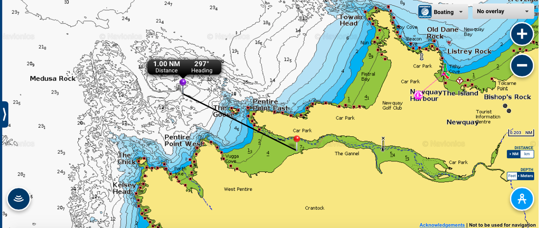
Parking: A national trust car park is located at the back of the beach in the dunes.
Species: An extensive area of broken ground is located out past 'The Goose' island. This area will produce bass to trolled lures and the occasional Pollack and Wrasse. Patches of clean ground may produce Ray, Turbot, Plaice, Dabs, Codling and Whiting to baits.
Nearest Tackle Shops: Atlantic Angling Centre at Newquay and Sling Your Hook at Newquay
Webcam: Crantock Beach Webcam
Swell and Weather Forecast: Magic Seaweed Crantock (see below)